mail_outline sales@mediastorehouse.com
The historic Towanroath Engine house at Wheal Coates abandoned tin mine, St Agnes, Cornwall, England
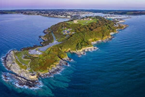
Aerial view over Pendennis Castle and Falmouth, Cornwall, England
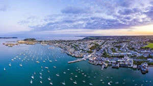
Aerial view over the Penryn river and Falmouth, Cornwall, England
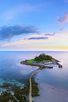
Aerial dusk view over Saint Michaels Mount, Marazion, near Penzance, Cornwall, England
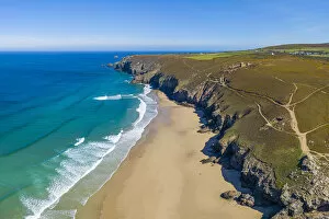
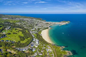
Aerial view over Porthminster beach, St. Ives, Cornwall, England
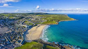
Aerial view of Porthmeor beach, St. Ives, Cornwall, England
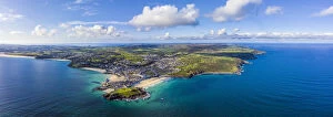
Aerial panoramic view of St. Ives, Cornwall, England
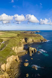
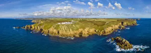
Aerial view of Lands End coastline, Penwith peninsula, most westerly point of the English mainland, Cornwall, England
Aerial view of Lands End, Penwith peninsula, most westerly point of the English mainland, Cornwall, England
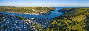
Dartmouth, river Dart, Devon, England
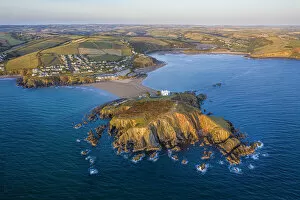
Bigbury on Sea, Bigbury, Devon, England
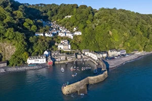
Aerial elevated view over Clovelly on the North Devon coast, Devon, United Kingdom
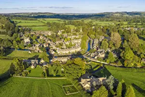
Aerial view over the village of Upper Slaughter in the Cotswolds, Gloustershire, England
Aerial view over the village of Lower Slaughther in the Cotswolds, Gloustershire, England
View over the Georgian city of Bath, Somerset, England
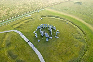
Stonehenge viewed from above, Salisbury Plain, Wiltshire, England
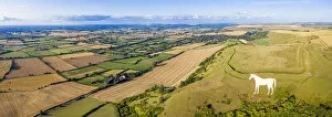
Aerial view of the famous White Horse below Bratton Camp, an Iron Age hillfort near Westbury, Wiltshire, England
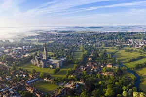
Aerial view over Salisbury and Salisbury Cathedral on a misty summer morning, Salisbury, Wiltshire, England
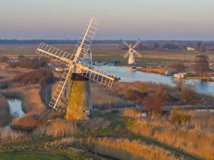
UK, England, East Anglia, Norfolk, Norfolk Broads, Thurne, St Benets Level Drainage Mill and Thurne Dyke Drainage Mill beyond
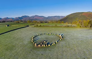
UK, Cumbria, Lake District, Castlerigg Stone Circle
UK, England, Dorset, Isle of Purbeck, Swanage, Jurassic Coast, The Foreland or Handfast Point, Old Harry Rocks
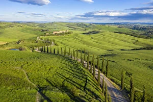
Italy, Tuscany, Val d Orcia, Siena Province, Cypress tree road leading to Agriturismo Baccoleno near Asciano
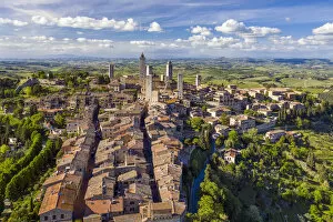
Italy, Tuscany, Val d Elsa. Aerial view of the medieval village of San Gimignano, a Unesco World Heritage Site
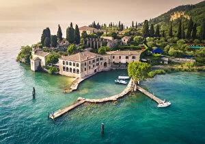
Aerial view of Punta San Vigilio on Garda Lake. Verona Province, Veneto, Italy
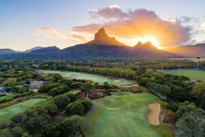
Aerial view of Tamarina golf course with Rempart mountain and Trois mamelles mountain during the sunrise. Tamarin, Black River (Riviere Noire), West coast, Mauritius, Africa
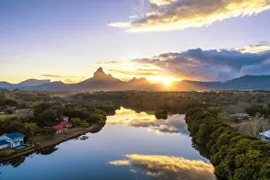
Aerial view of Tamarin bay with Rempart mountain in the background, during the sunrise. Tamarin, Black River (Riviere Noire), West coast, Mauritius, Africa